|
|
|||
|
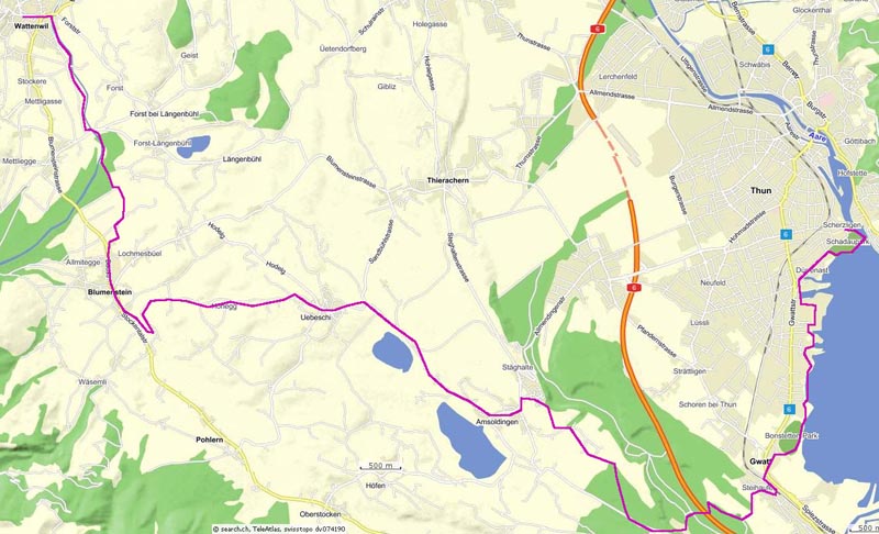
Thun - Wattenwil |
|
||
|
|
|||
 20.5.09 -
Thun 20.5.09 -
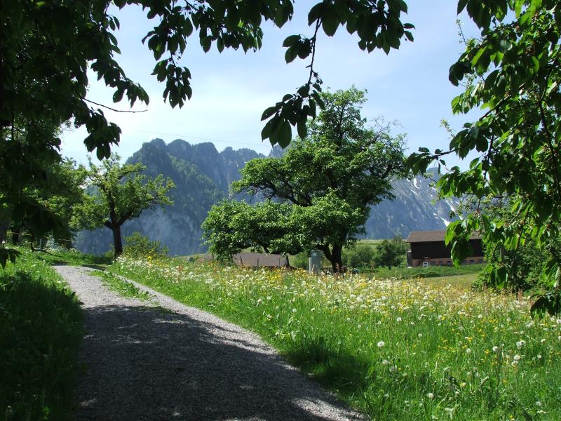
ThunThun Schaudau 560m - Strandbad - Bonstettenpark - Gwatt (1.10h) - Gwattegg 636m - Alti Schlyffe 597m - Zwieselberg 664m (0.45h) - Amsoldingen 643m (1h) - Honegg 718m (0.50h) - Blumenstein 659m (0.35h)- Wattenwil 603m (1h) - Thun (0.35h) - 5.20h - 20 km.
Diese Etappe folgt dem Jakobsweg, nicht der offiziellen Alpenpanoramaroute. |
|||
|
|
|
|
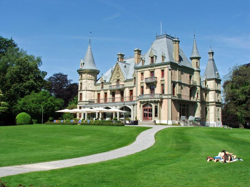
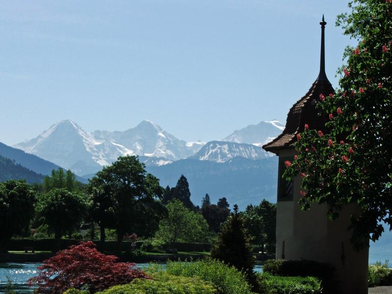
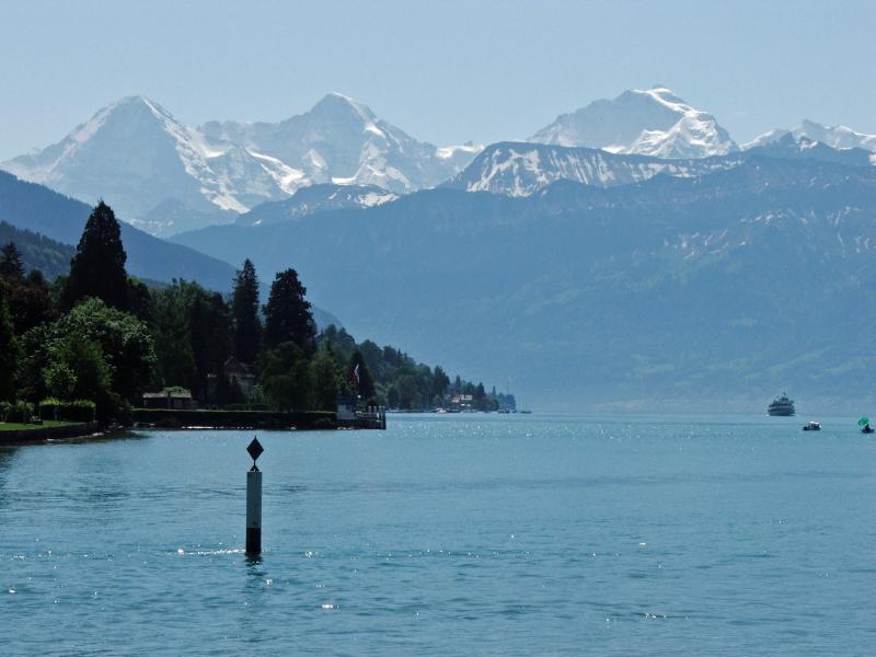
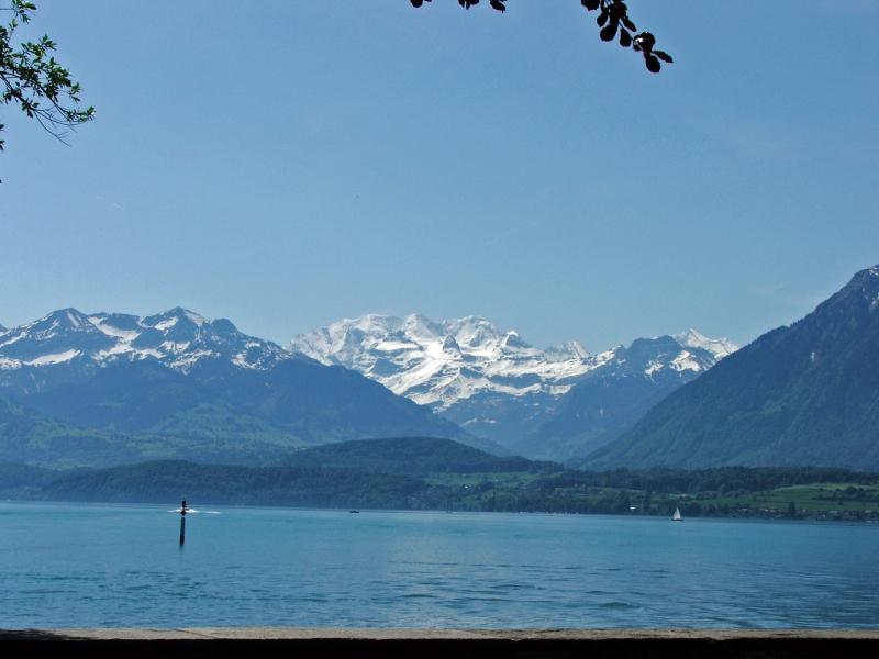
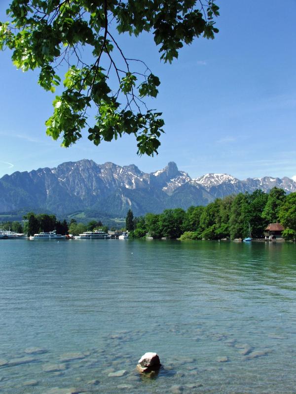
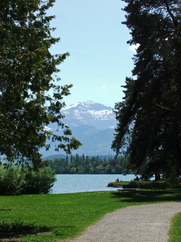
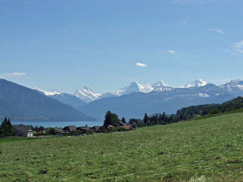
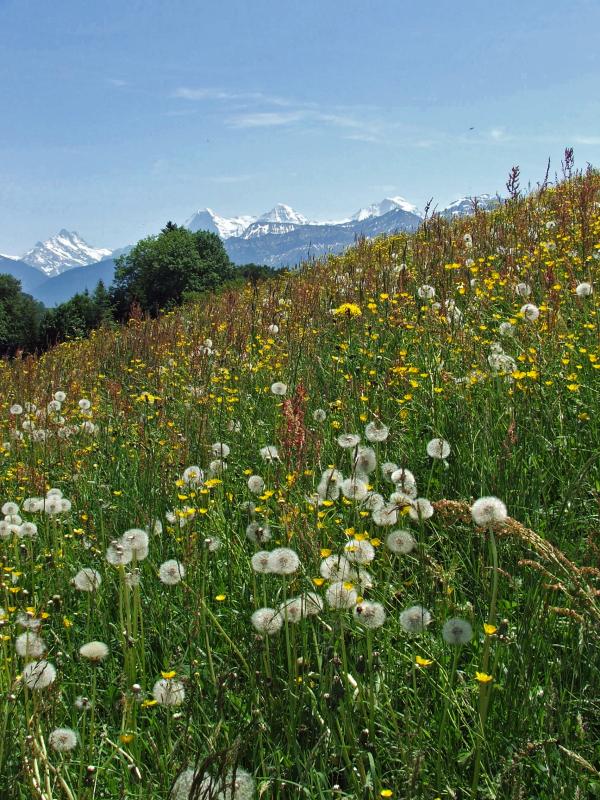
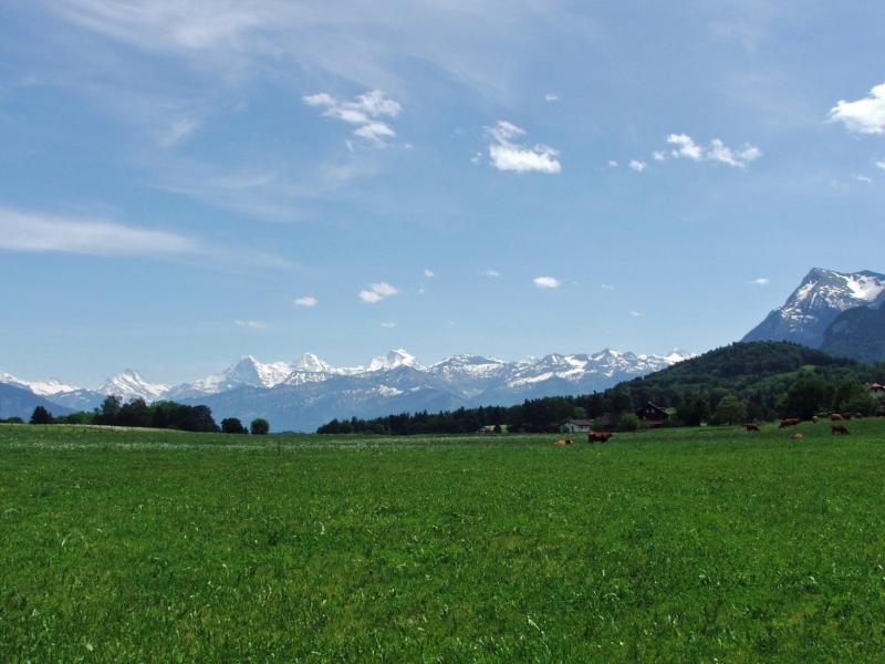
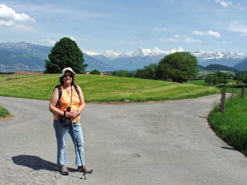
| Schloss Schadau, Thun | Eiger, Mönch, Jungfrau | Blüemlisalp | |
|
|
|
|
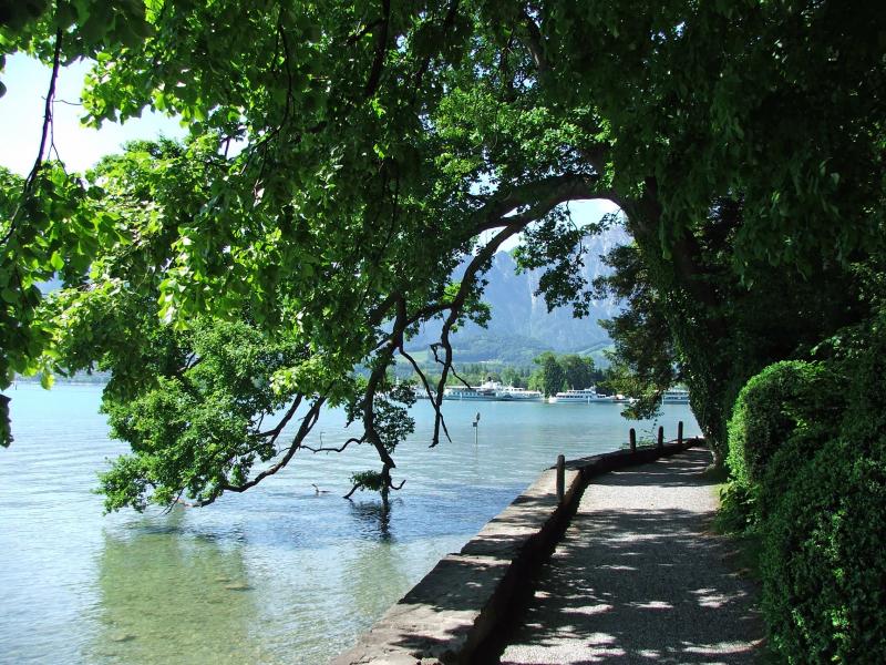
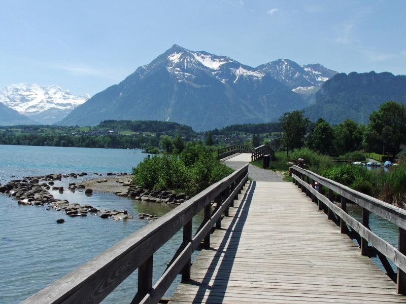
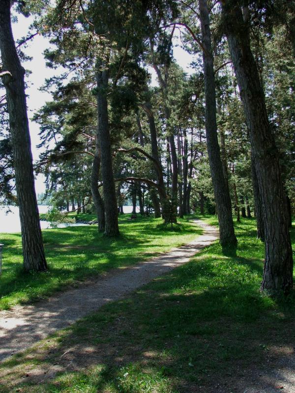
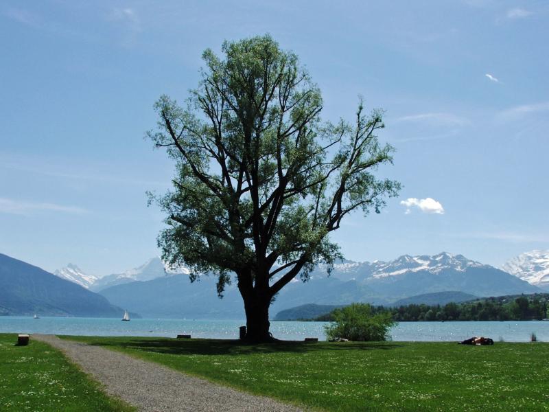
| Uferweg beim Seepark | Niesen | Uferpartie bei Gwatt | |
|
|||
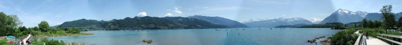
| Uferweg Panorama | |||
|
|
|
|
 |
|
|
|
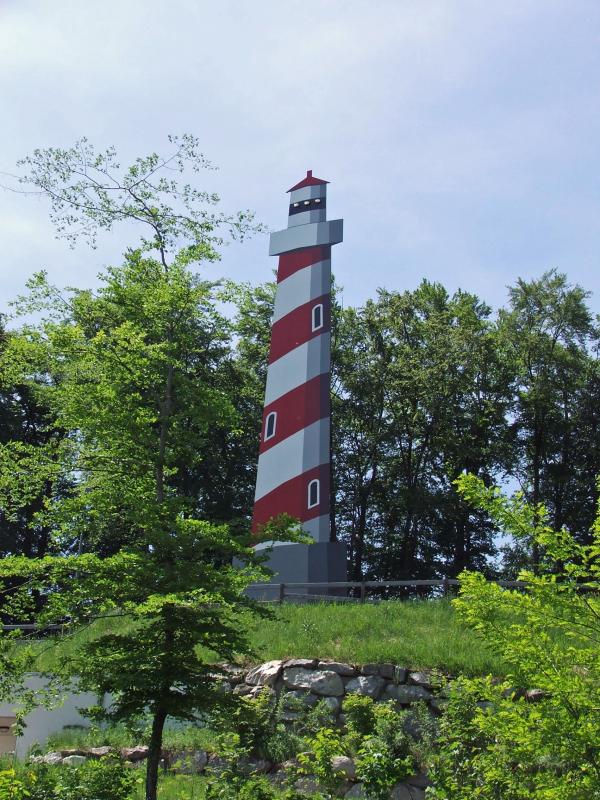
| Bonstetten-Park | Gwattegg | mit Leuchtturm-Attrappe | |
|
 |
 |
 |
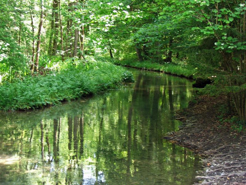
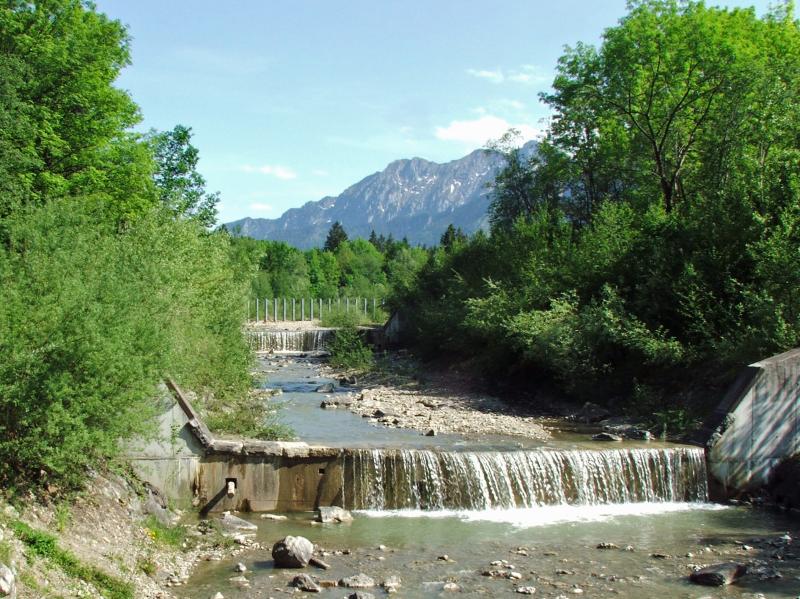
| Glütschbach und Alte Schlyffi | Zwieselberg | ||
 |
 |
 |
 |
|
 |
 |
 |
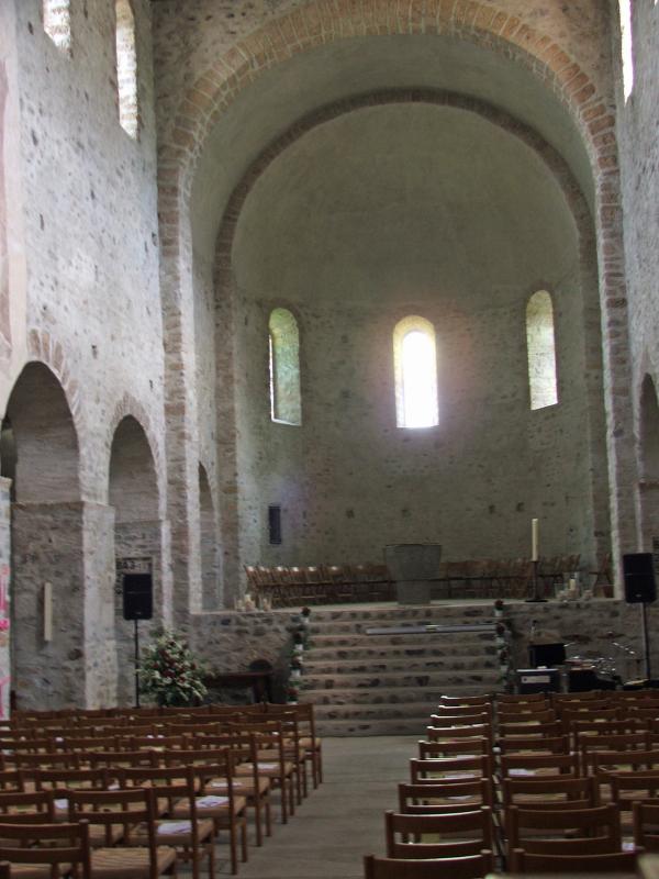
| Amsoldingen | |||
|
 |
 |
 |
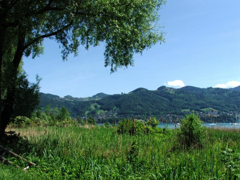
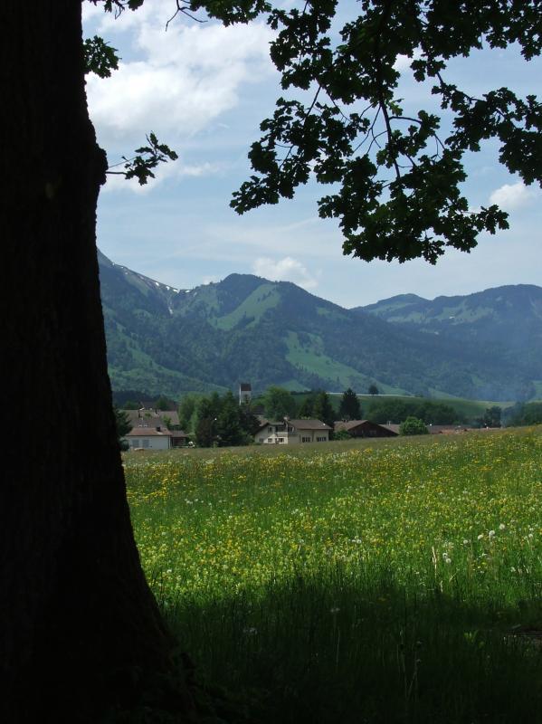
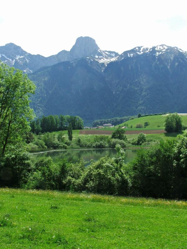
| Uebeschi-See | Honegg bei Uebeschi | ||
|
 |
 |
 |
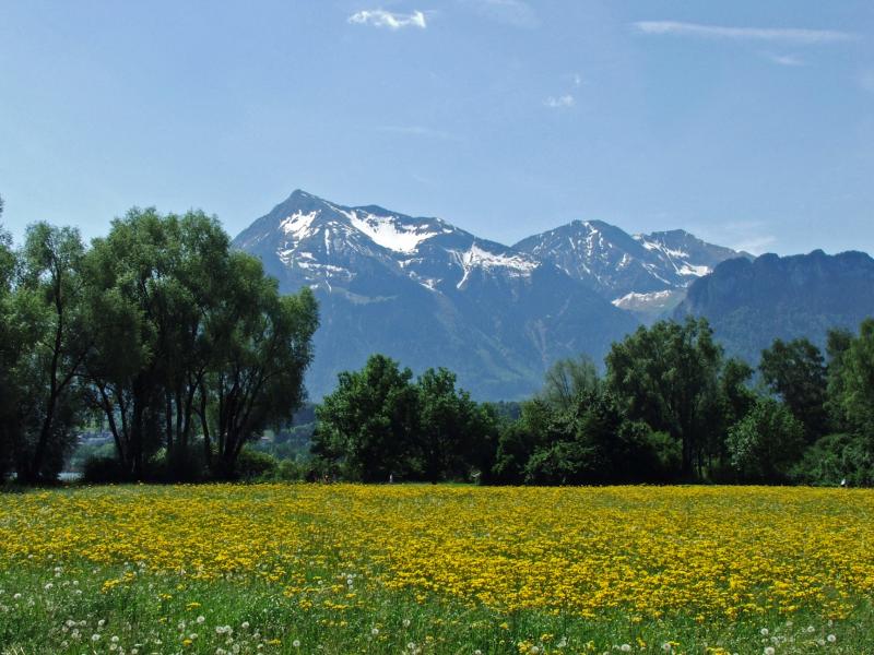
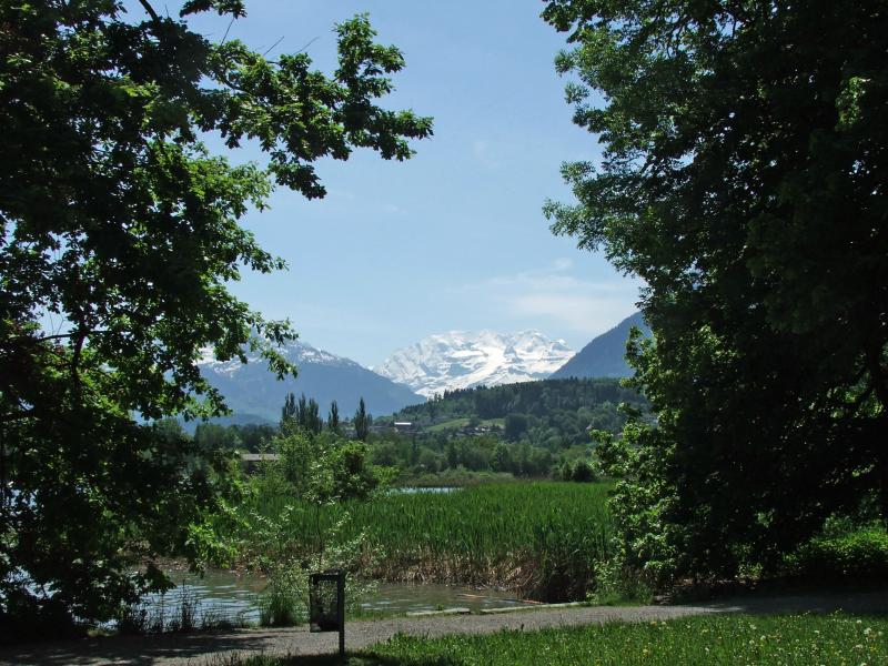
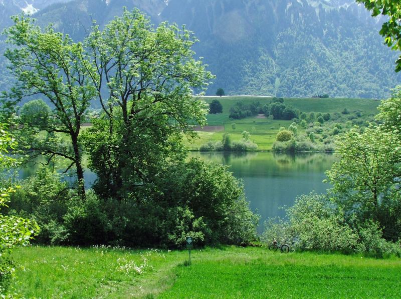
| Uebeschi-See und Stockhorn |
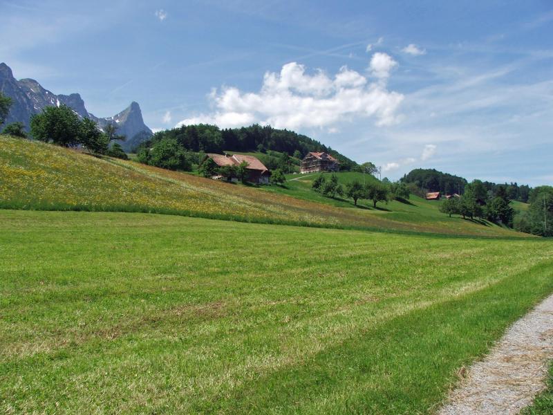
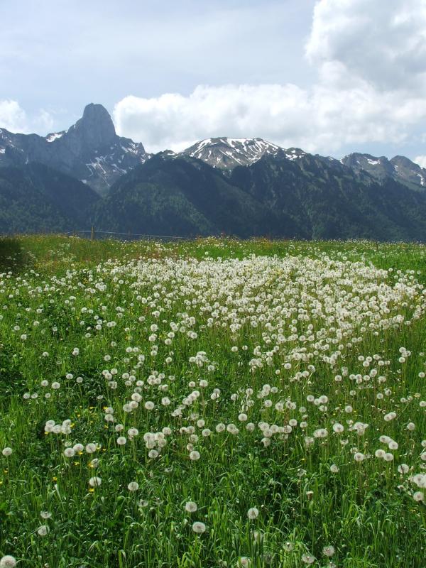
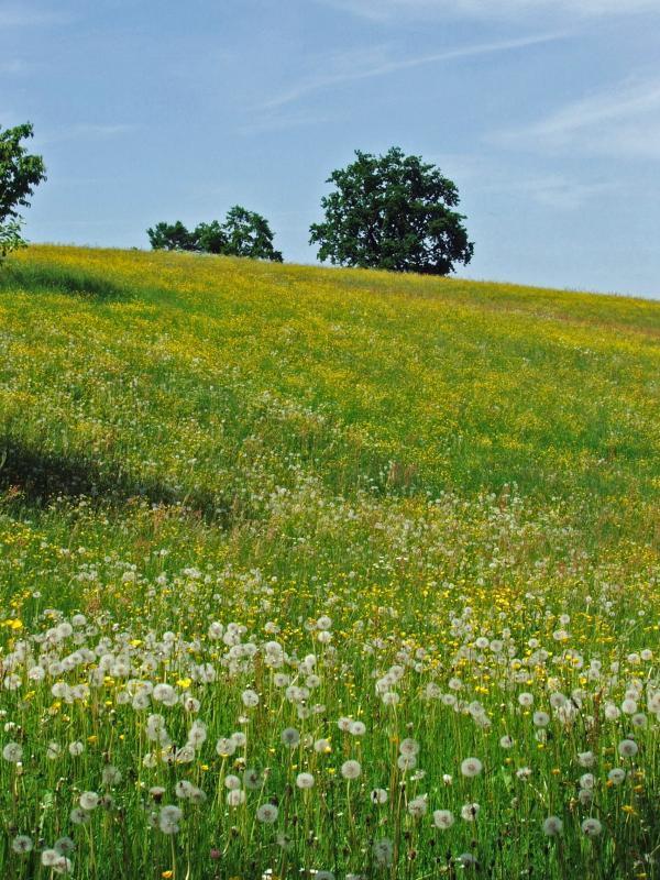
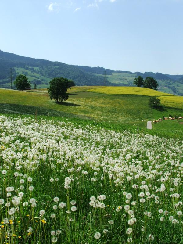
Wiesen bei Blumenstein |
||
|
 |
 |
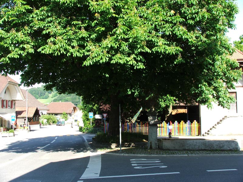 |
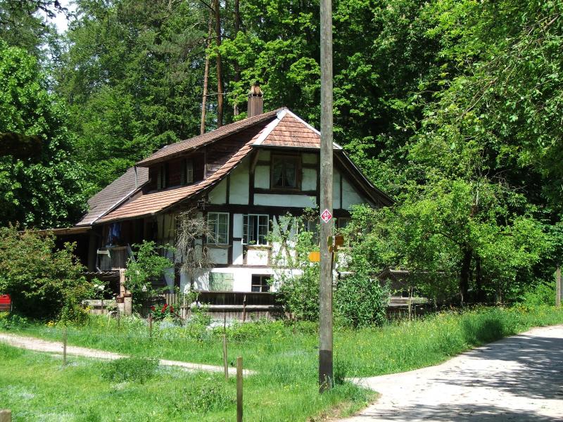
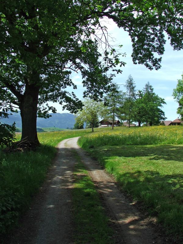
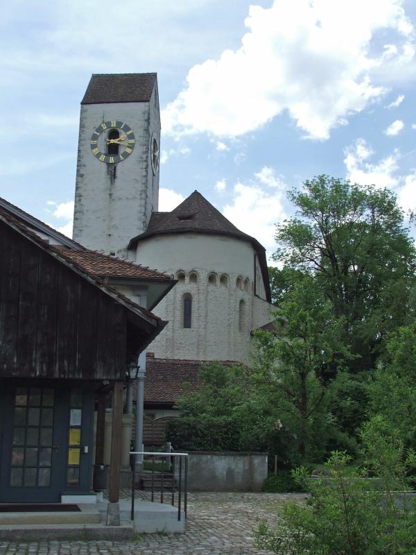
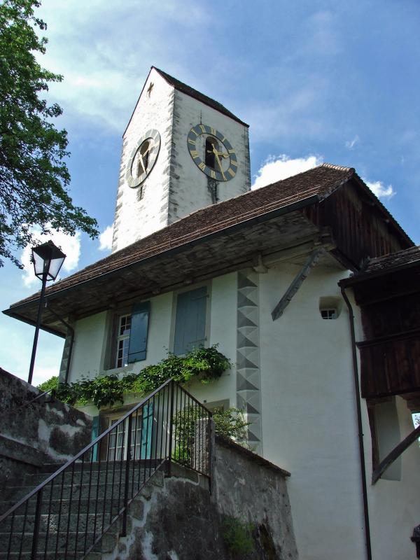
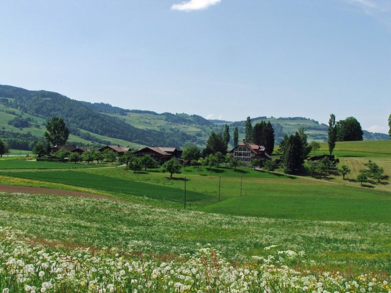
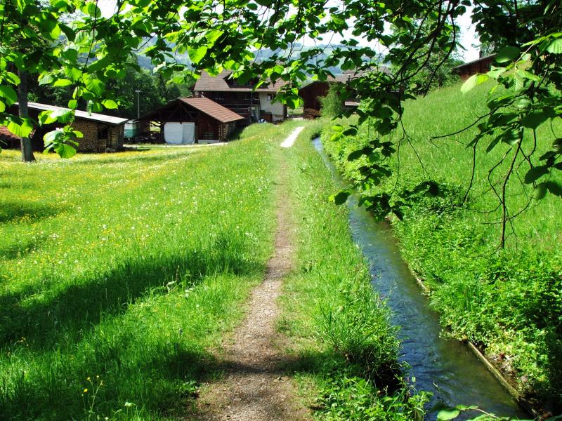
| Mühle bei Blumenstein | Gürbe bei Wattenwil | Wattenwil | |
|
|
|||
|
|
|||
| << Trans Swiss Trail2 | www.wandersite.ch | ||
|
|
|||