|
|
|||
|
Charmey - Gruyères |
|
||
|
|
|||
|
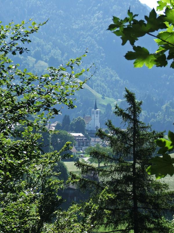
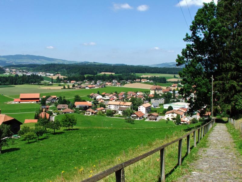
23.7.08 - Charmey Charmey 887m/820m - Cresuz 909m - Jaunschlucht 822m/709m - Broc 718m (2.30h) - Gruyères 828m (1h) - Gruyères Gare 746m (0.15h) ; Gruyères - Moléson 1107m (Bus) - Plan Francey 1528m (Standseilbahn) - ca. 13-14 km, Wanderzeit: 3.45h ; Uebernachtung Plan Francey, Moléson. GPS-Tracks und Karte |
|||
|
|
 
|
|
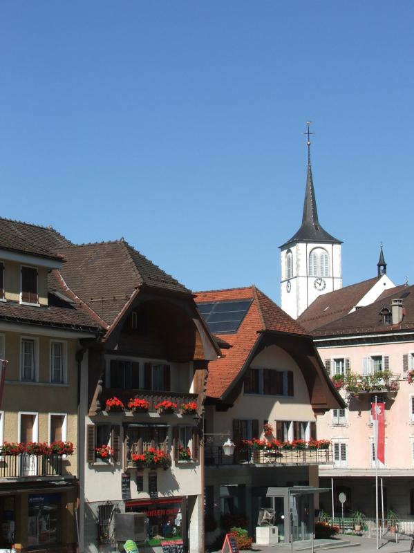
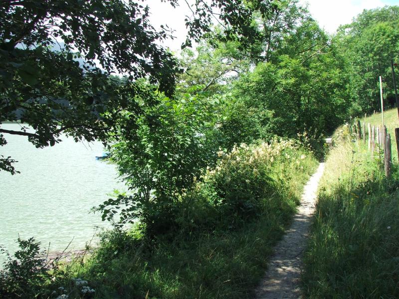
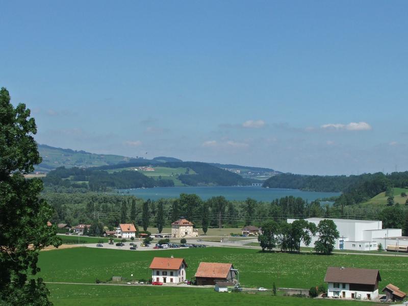
| Charmey, Dorfplatz | Charmey: Neues Thermalbad | Jaunbach (La Jogne) gestaut zum Lac de Montsalvens | |

|
|
|
|
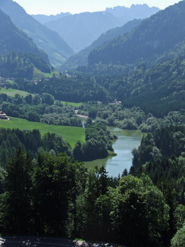
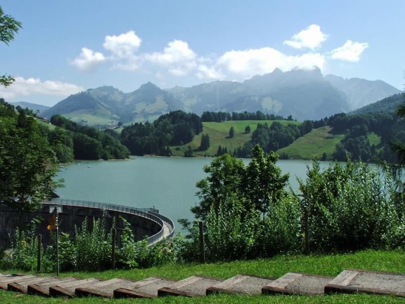
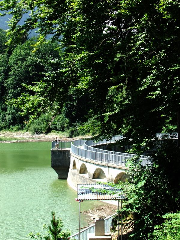
| Kleine Brücke defekt, grosser Umweg über das Strassenviadukt! | An der Staumauer des Lac de Montsalvens | ||
|
|

|

|
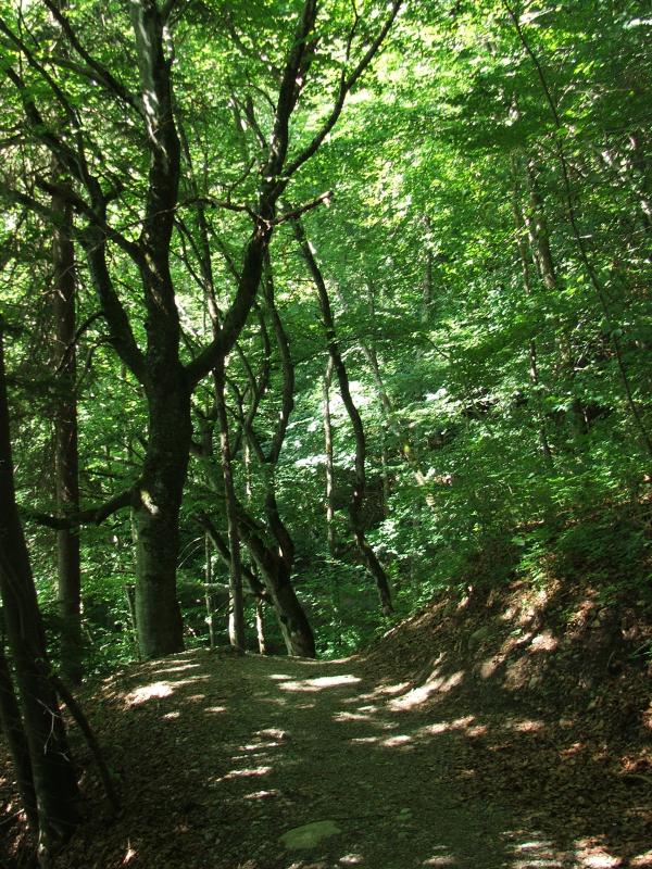
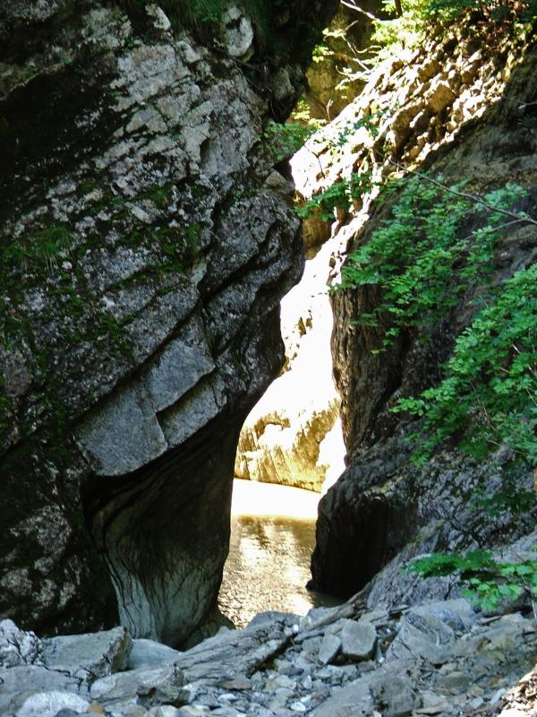
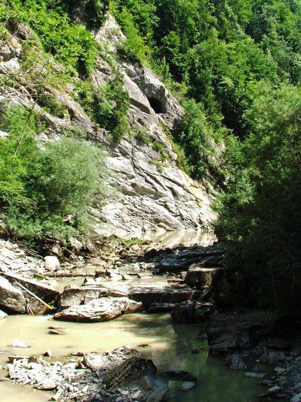
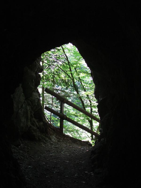
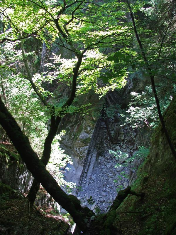
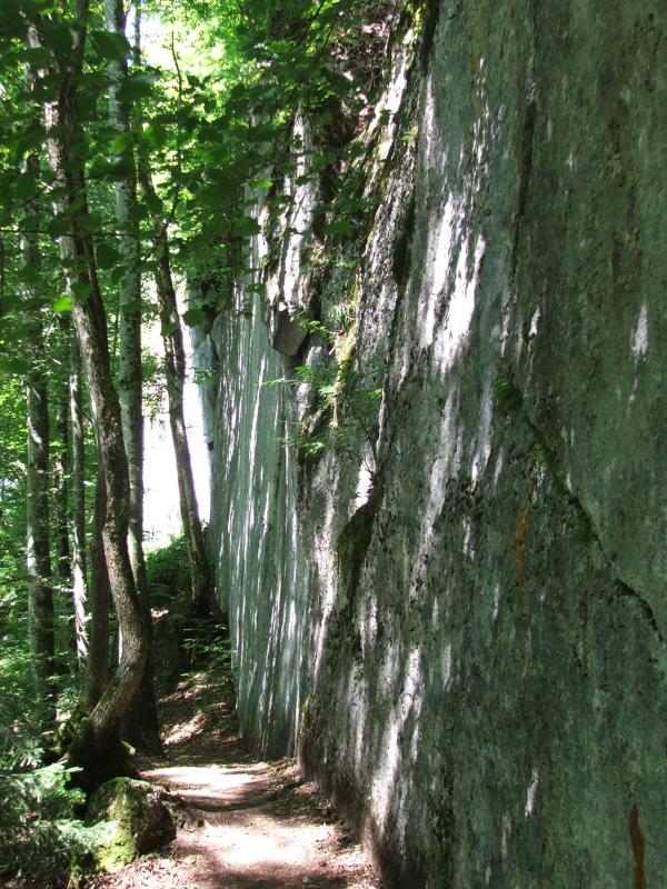
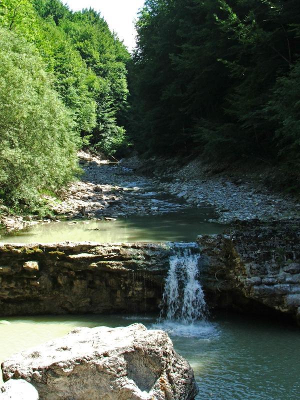
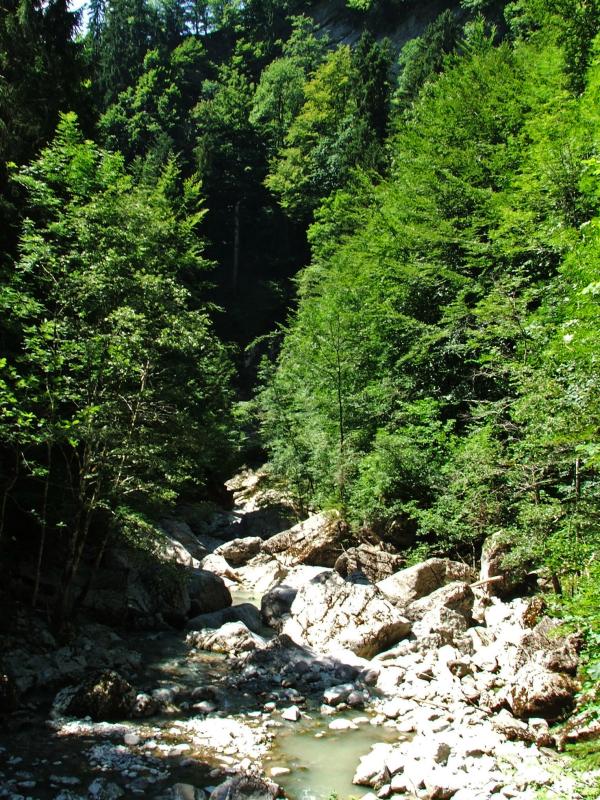
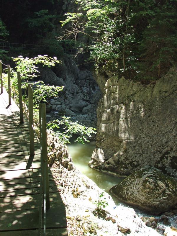
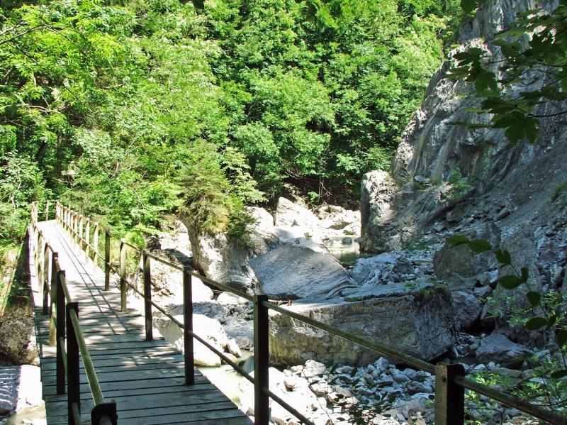
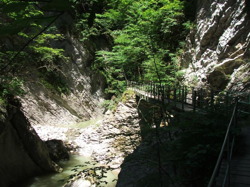
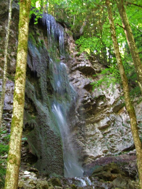
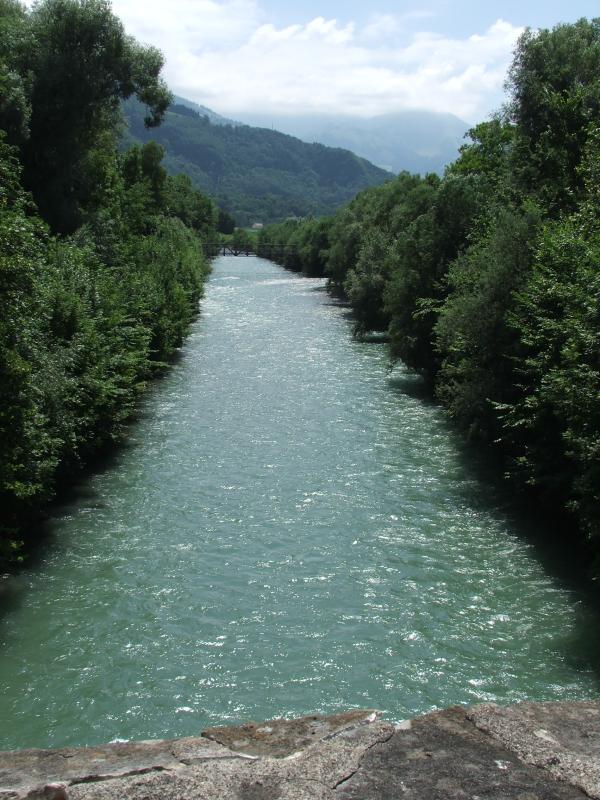
| Hinter der Staumauer die Jaunschucht | |||
 |
|

|
|
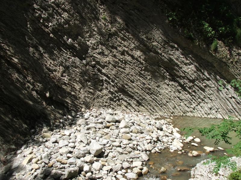
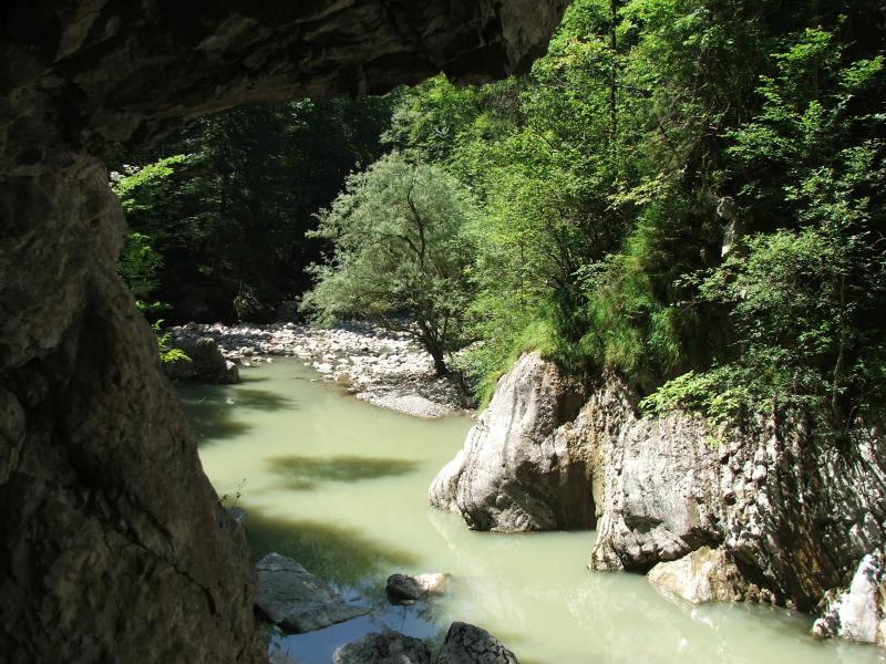
| Gorges de la Jogne | |||
|
 |
 |
 |
 |
 |
 |
 |
|
 |
 |
 |

|
 |
 |
|
|
 |
 |
In Broc verpassen wir die richtige(n) Abzweigung(en) der Saane entlang. Wir überqueren den Fluss über die alte Brücke und befiunden uns dann an der Landstrasse. Dieser folgen wir bis nach Epagny. |
| Chocolat Cailler/Nestlé in Broc | Broc: Blick hinüber nach Gruyères | Richtung Epagny, Gruyères | |
|
 |
 |
 |
| Broc: Alte Bogenbrücke über die | Sarine | Aufstieg nach Gruyères | |
|
 |
 |
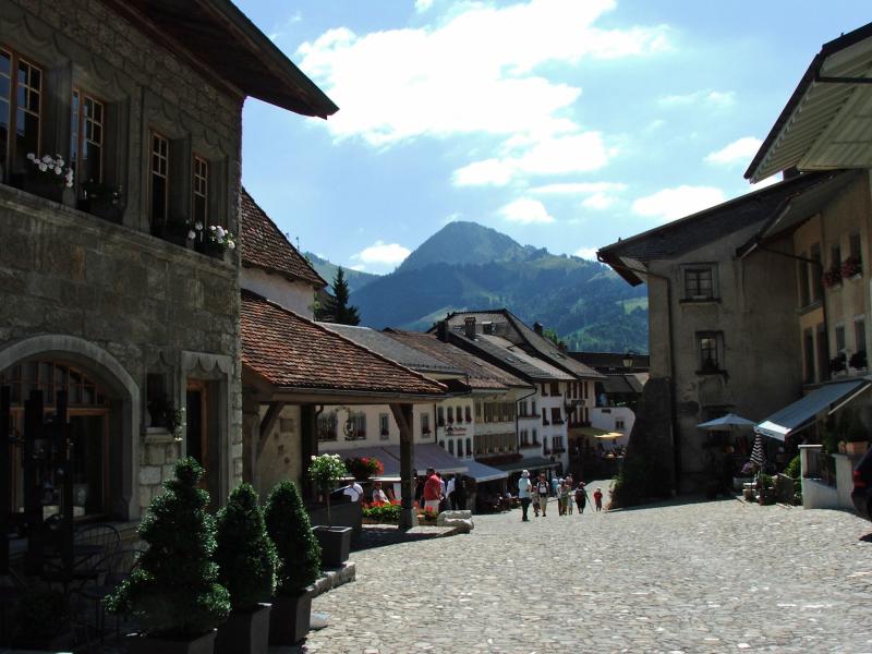 |
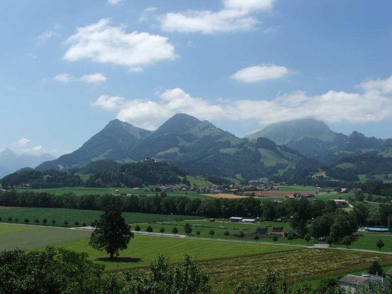
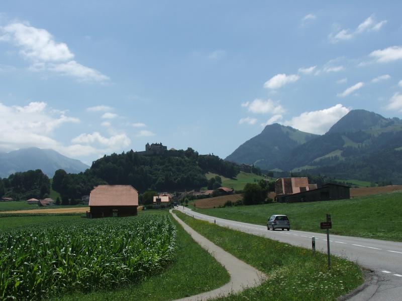
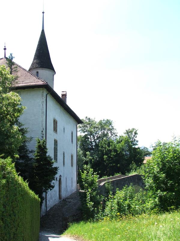
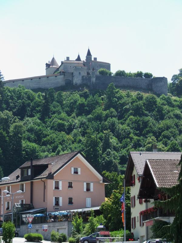
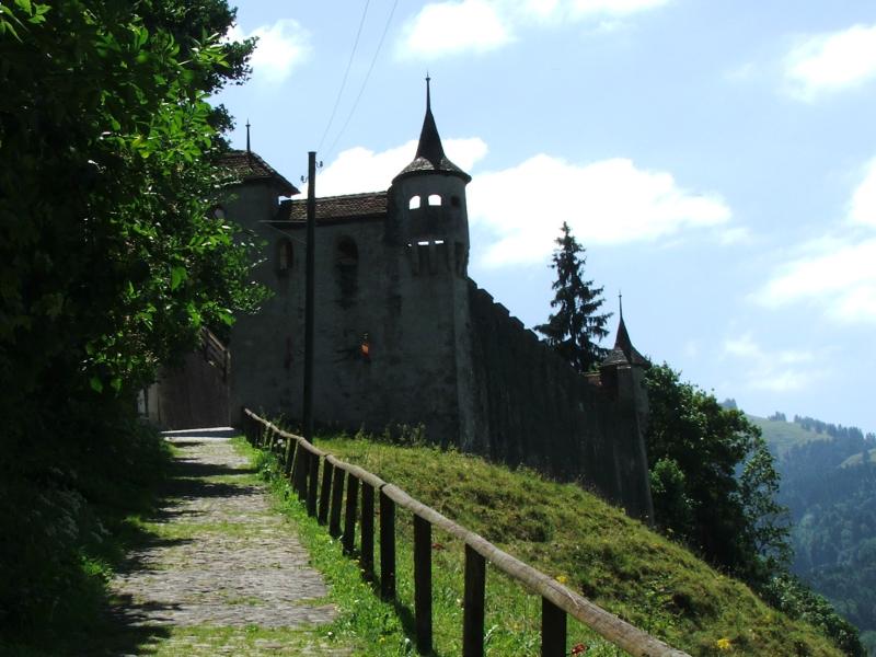
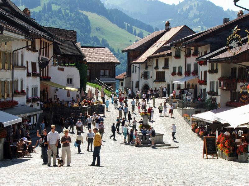
| Gruyères, seitliches Tor | Epagny im Hintergrund Bulle | Gruyères | |

|
 |
 |
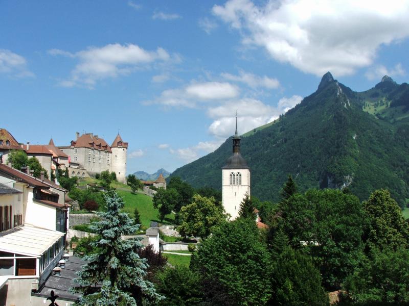  |
| Gruyères | |||
|

|
 |
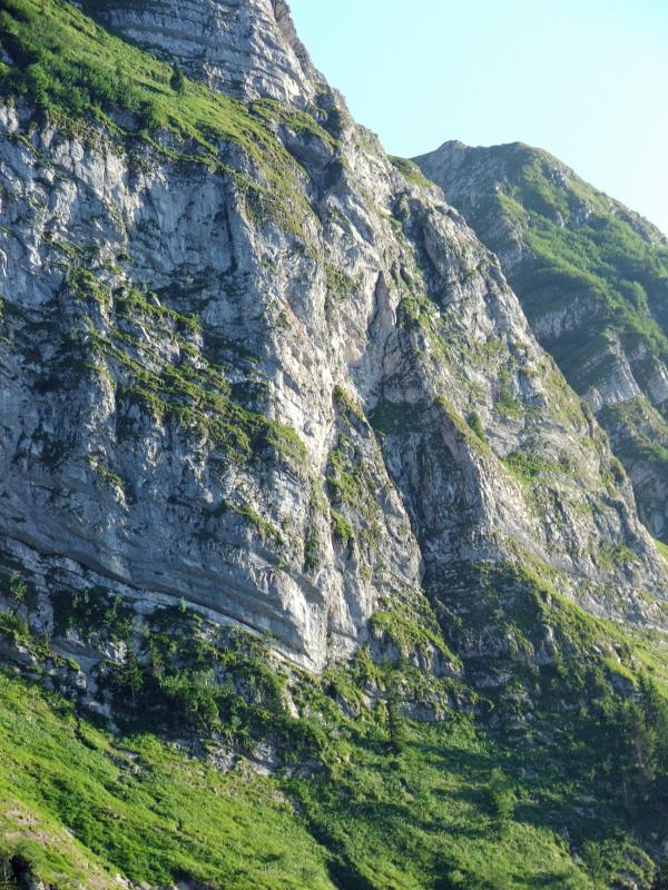 |
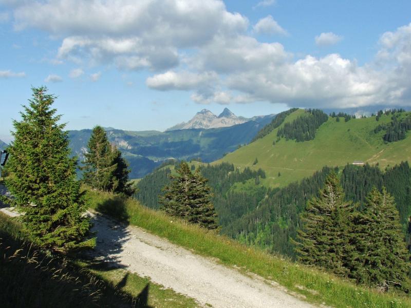
| Ab Gruyères-Gare gehts mit dem Bus nach Moléson-Village und mit der Standseilbahn hinauf nach Plan-Francey. | Abendsonne | Teil der Via Ferrata zum Gipfel | |
 |
|||
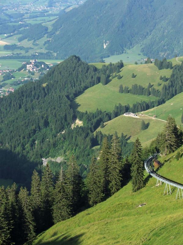
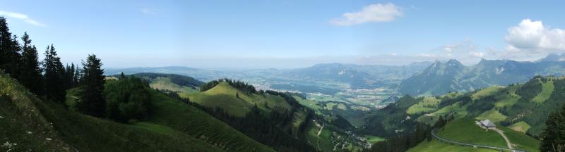
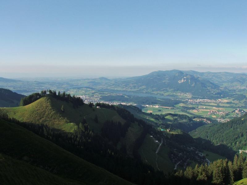
| Panorama von Plan Francey aus über das Greyerzerland - im Vordergrund Moléson s/Gruyères, dann Gruyèrs, Broc, Charmey. | |||
|
 |
 |
 |
|
 |
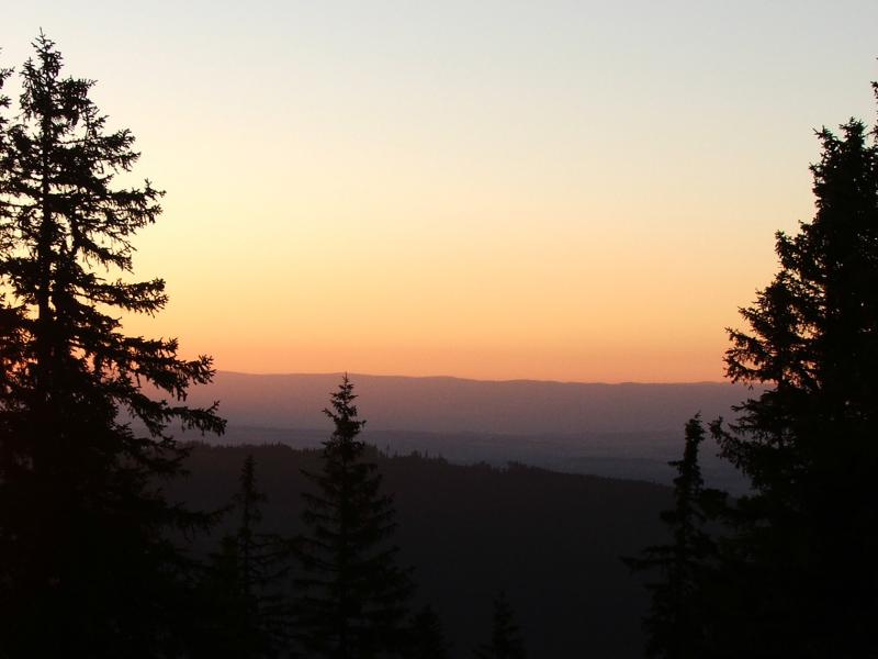 |
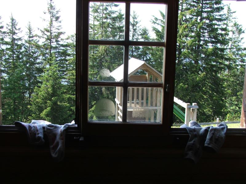
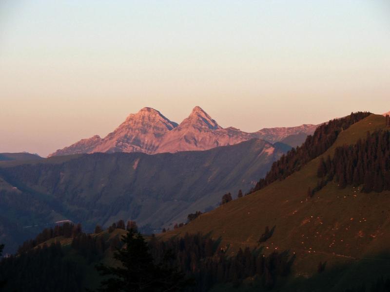
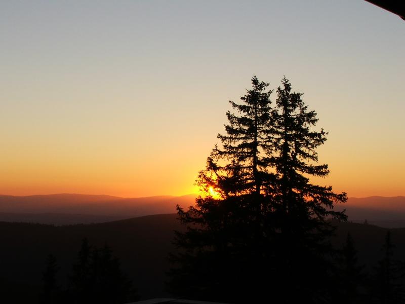
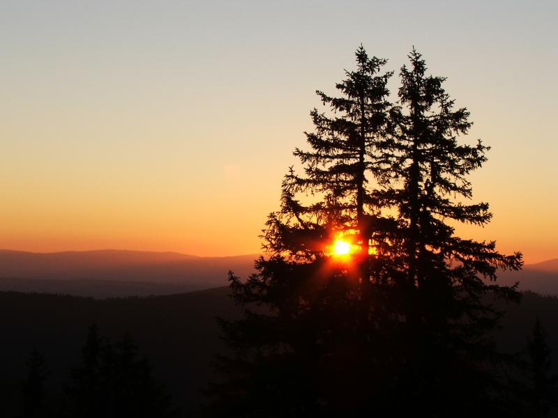
Tolle
Abendstimmung auf der Terrasse des Berggasthauses Plan
Francey. Einfache Zimmer, mit fliessend Wasser. Nach 18 Uhr fährt keine Bahn mehr, dann sind Bergwanderer und Biker unter sich. |
|
|
|||
|
|
|||
| << Trans Swiss Trail2 | www.wandersite.ch | ||
|
|
|||