|
|
|||
|
Heiden - Gais (- Appenzell) |
|
||
|
|
|||
|
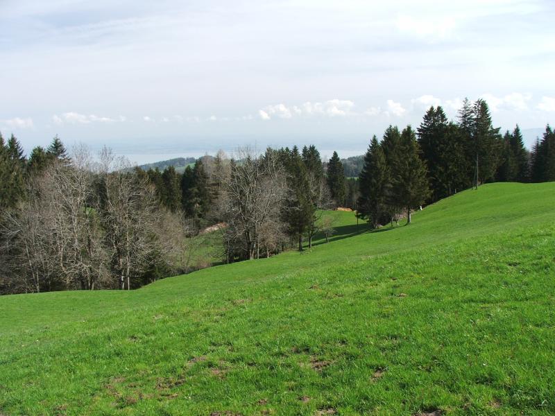
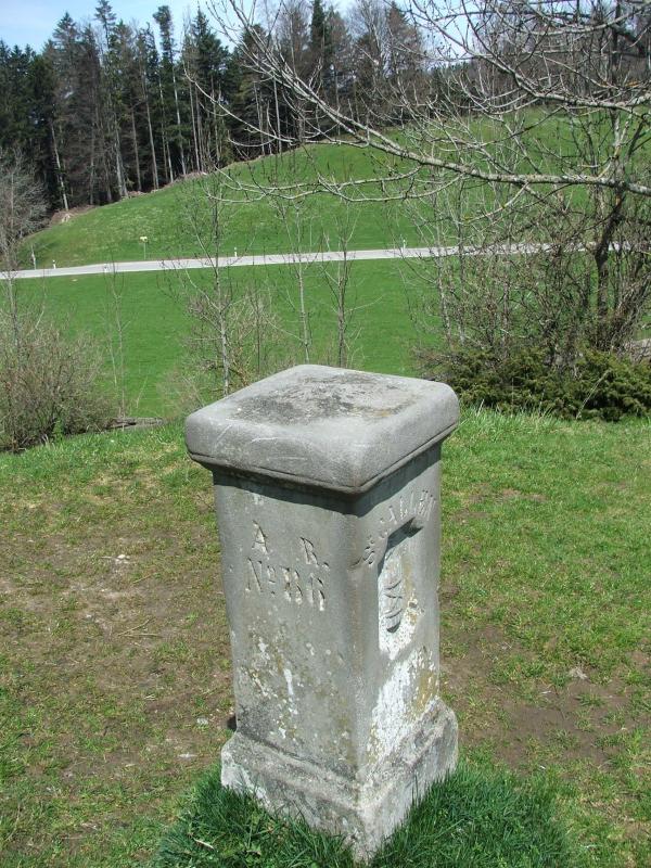
26.4.08 - Heiden Heiden 807 m - Bischofsberg (0.35 h) - Reutegg 1005 m (0.30 h) - Büelen 1068 m - St.Anton 1107 m (0.30 h) - Hoggen 1048 m (0.20 h) - Landmark 1003 m (0.35 h) - Suruggen 1191 m (0.50 h) - Ruesitz - Schwäbrig 1147 m (0.25 h) - Rotenwies 989 m - Gais (1 h) - 17 km 4.45h Diese Etappe folgt nicht der offiziellen Alpenpanoramaroute. GPS-Tracks und Karte |
|||

|
|
|
|
|
|
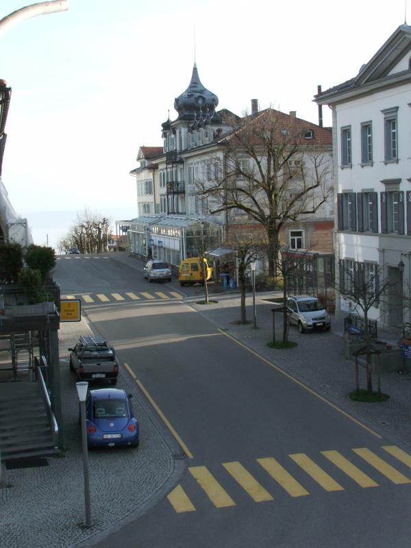
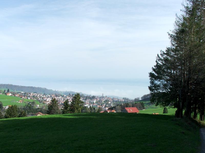
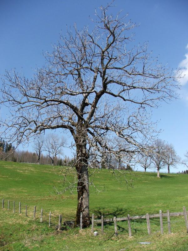
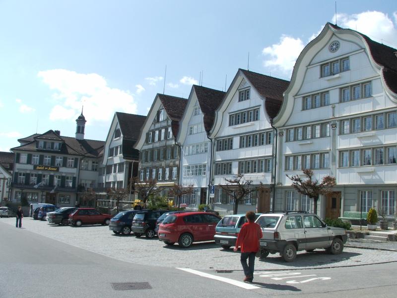
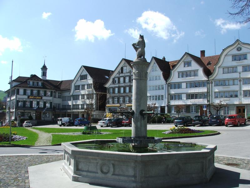
Morgensonne in Heiden |
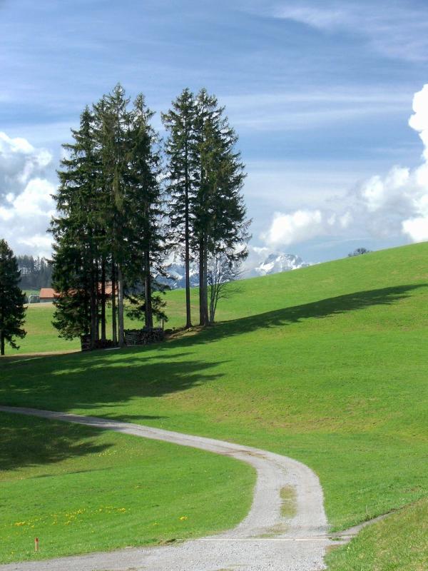
Hier beginnt der Aufstieg nach
Bischofsberg |
|
|
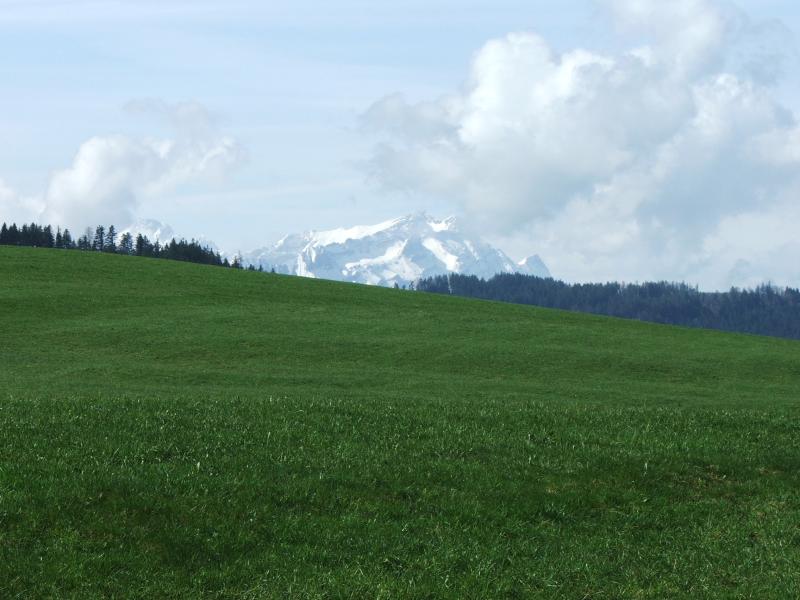
Strahlendes Frühlingswetter für unsere
erste, längere Etappe. Wir wählen den Weg über St.Anton - Surugge - Schäbrig nach Gais anstelle der Originalroute über Trogen - Gäbris. |
|
|
|
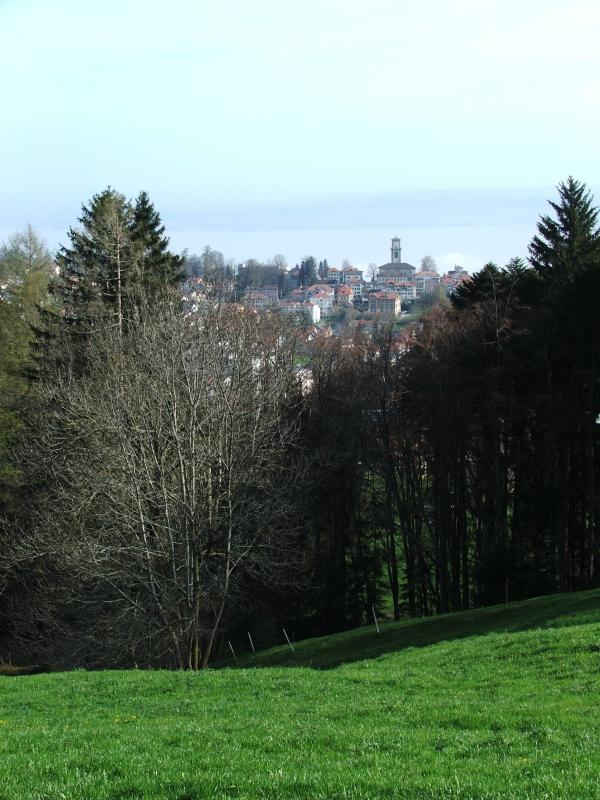
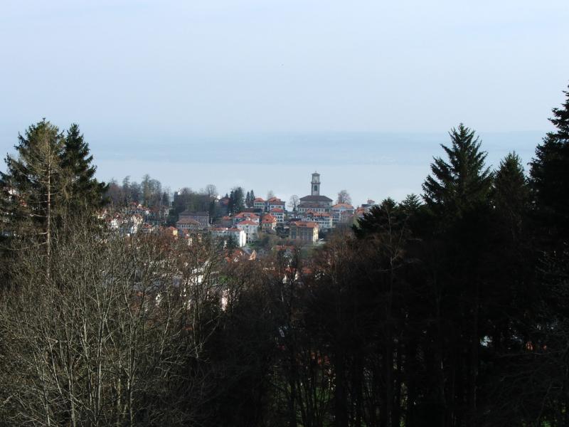
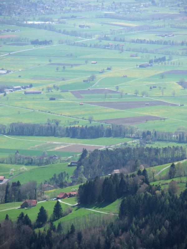
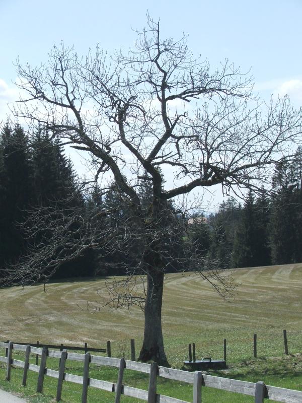
| Blick hinunter auf Heiden | Heiden, Bodensee | Bischofsberg | |
|
|
|
|
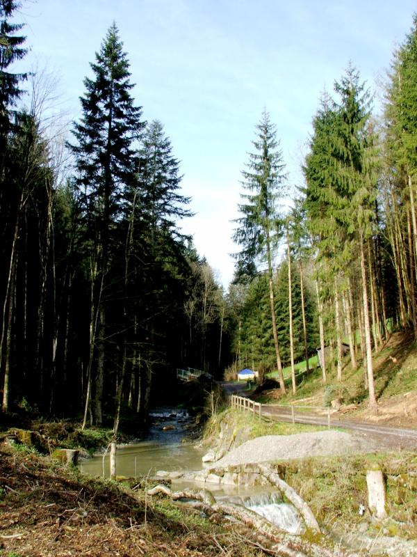
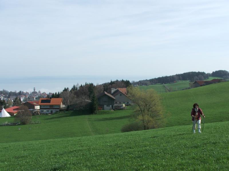
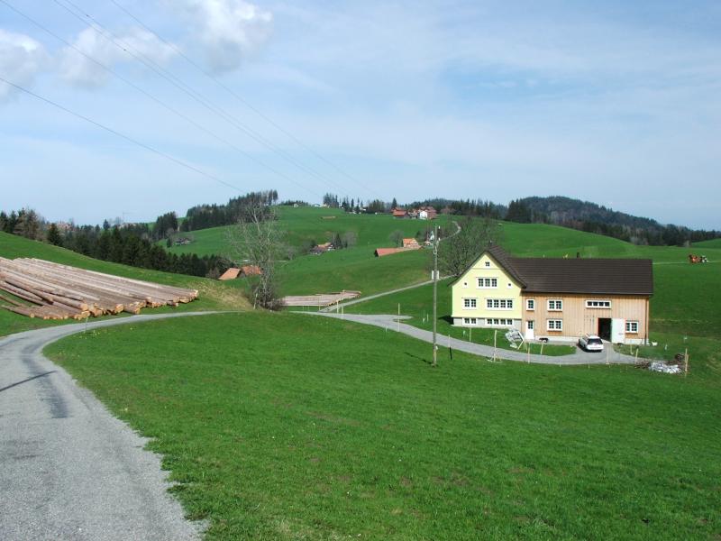
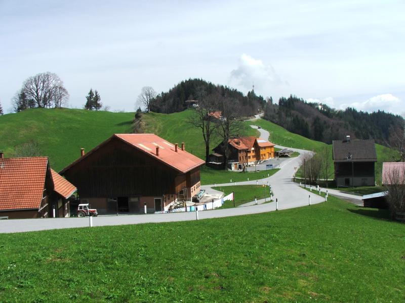
| Reutegg - ein lauschiger Platz | |||
 |
|
|
|
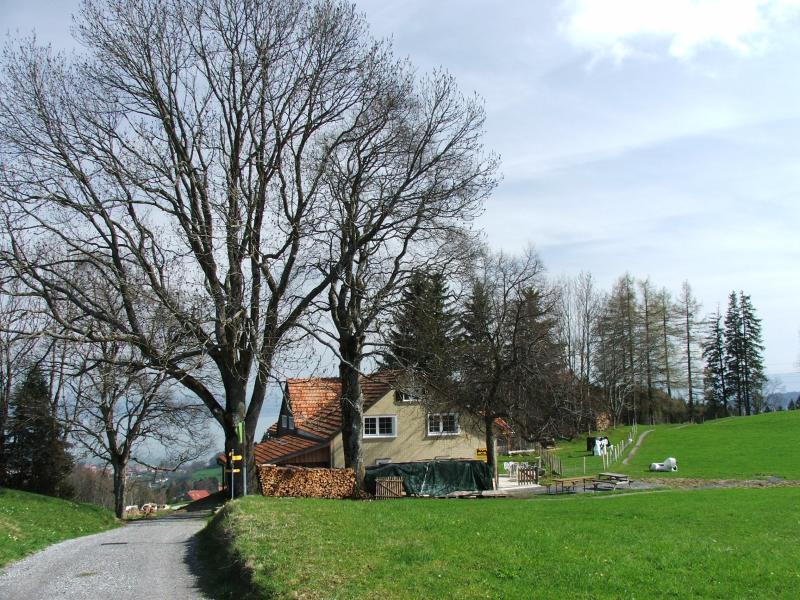
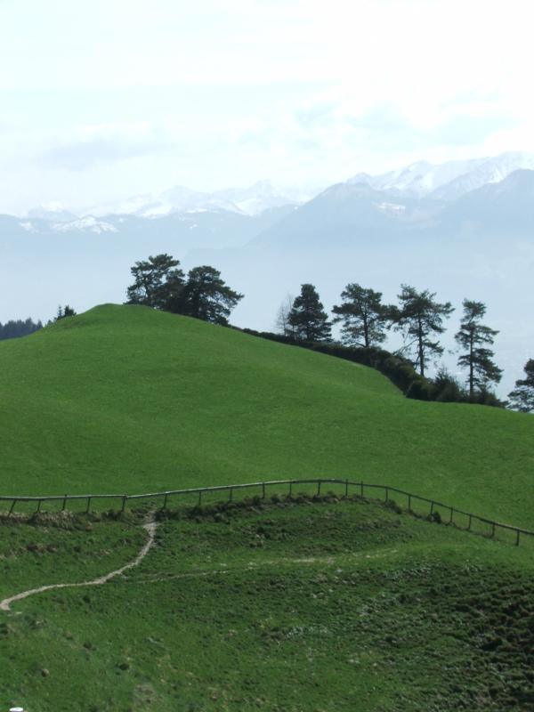
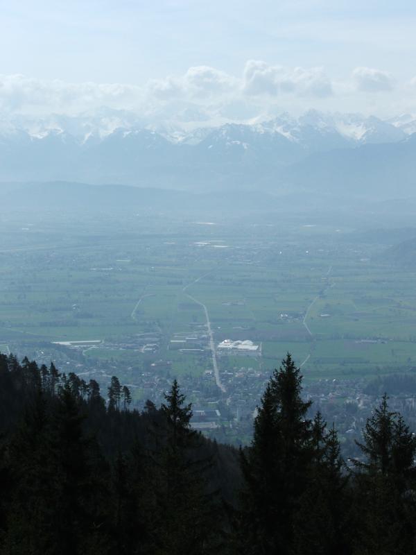
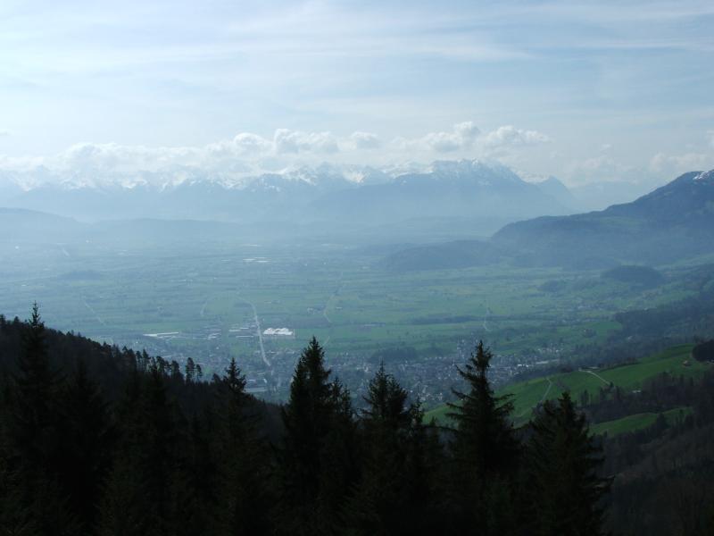
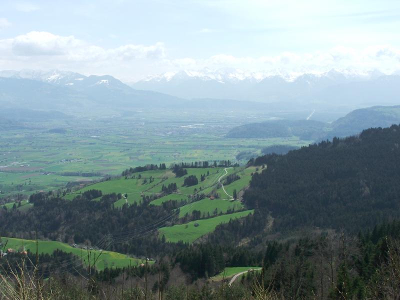
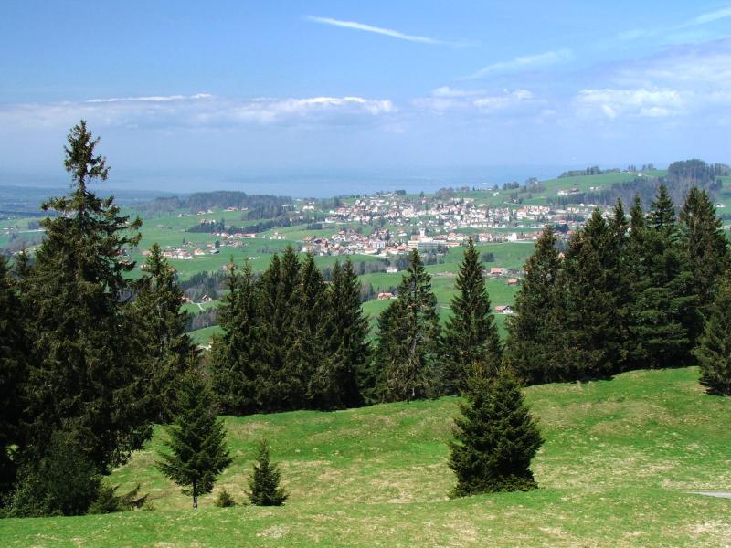
| St. Anton | Blick ins Rheintal | ||
|
 |
 |
|
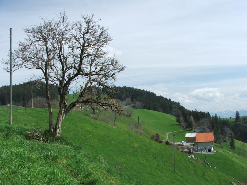
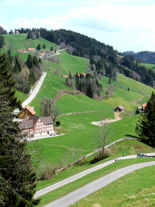
| Büelen | St. Anton | Altstätten, Rheinebene | Hoggen |
|
 |
 |
 |
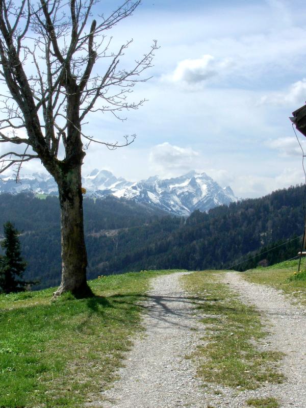
| vor Landmark | Aussicht ins Rheintal | Alpstein-Massiv | |
|
 |
 |
 |
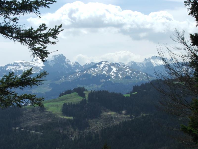
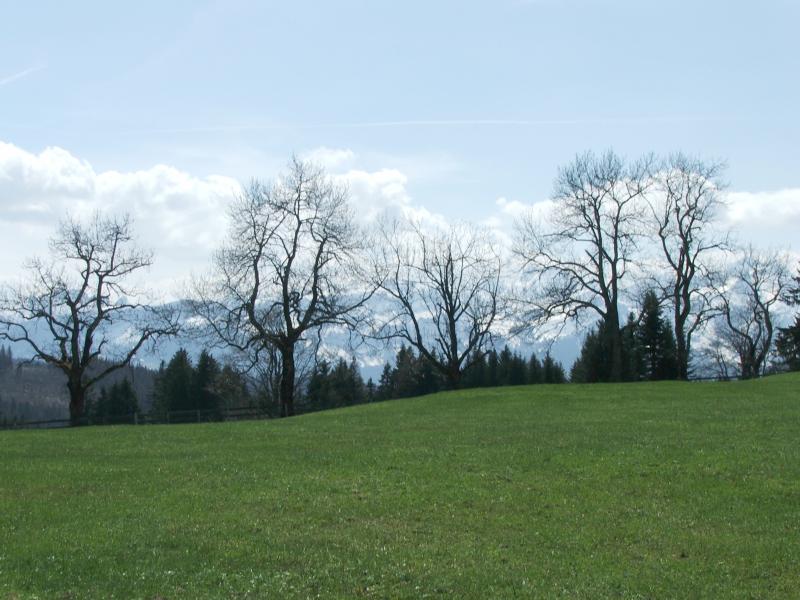
| Landmark: Kantone SG, AR, AI | Ruppenpass, Landmark | Suruggen | Blick in die Rheinebene |
|
 |
 |
 |
| Suruggen | |||
|
 |
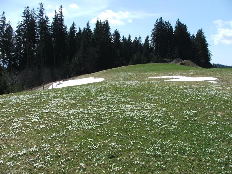 |
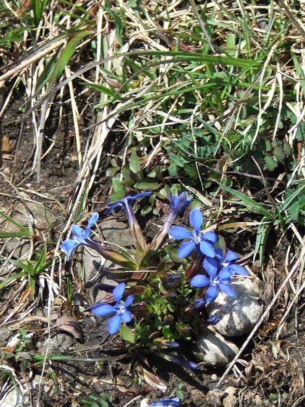
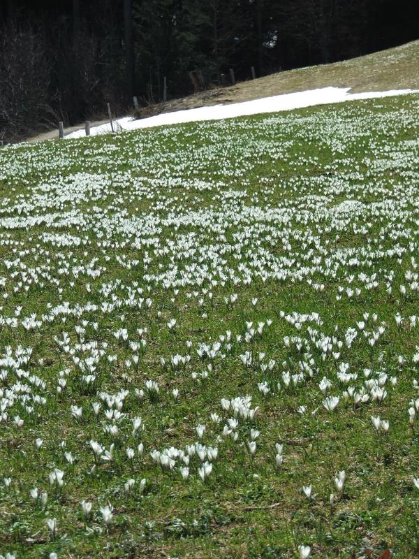
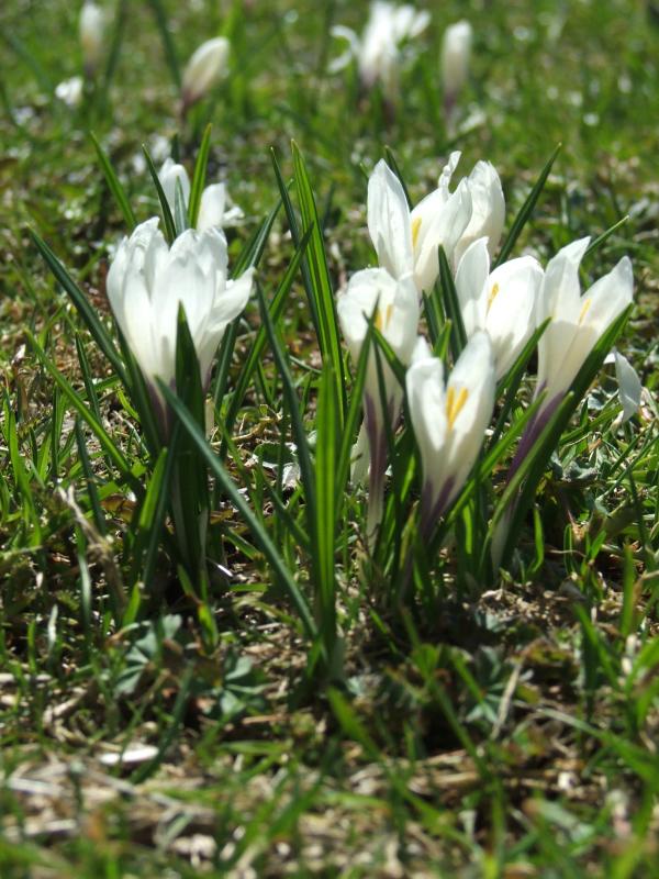
Bergfrühling auf 1150 m - Enziane, Krokusse |
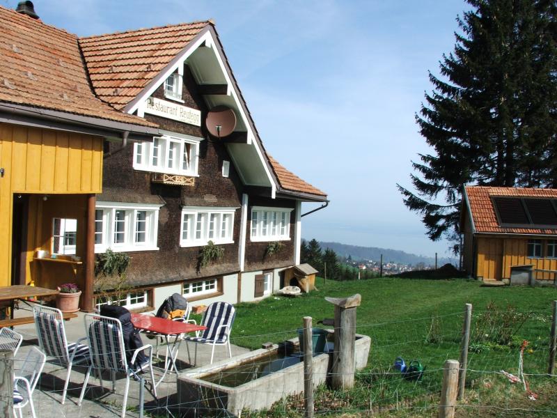
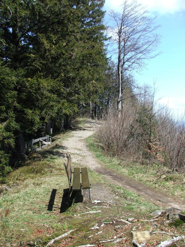
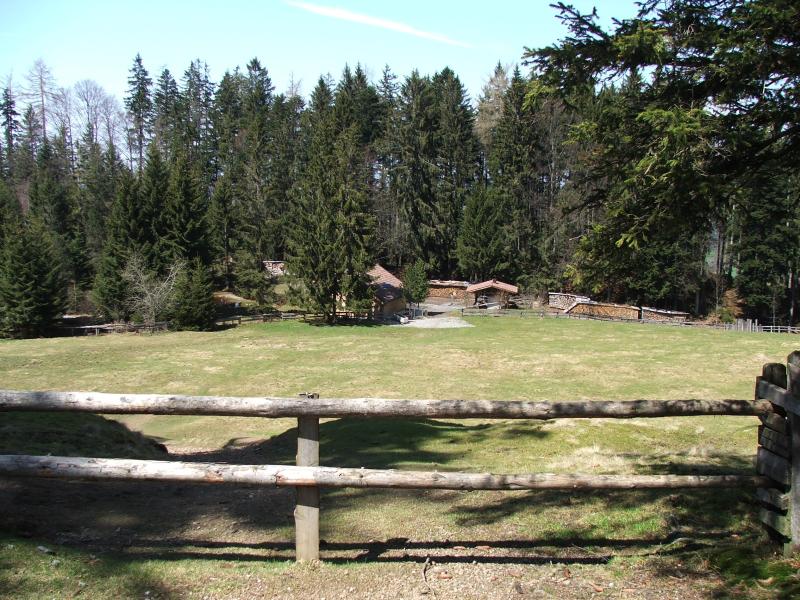
| Blick hinüber nach Rehetobel | Rastplatz Chellersegg | ||

|
 |
 |
 |
| Säntis | |||
|
 |
 |
 |
|
Wetterzentrale von meteomedia (www.meteocentrale.ch)
am Meteowanderweg |
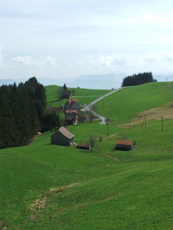
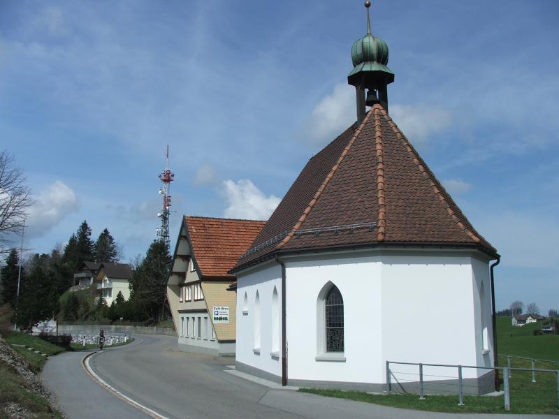
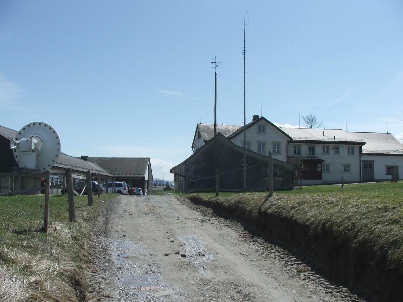
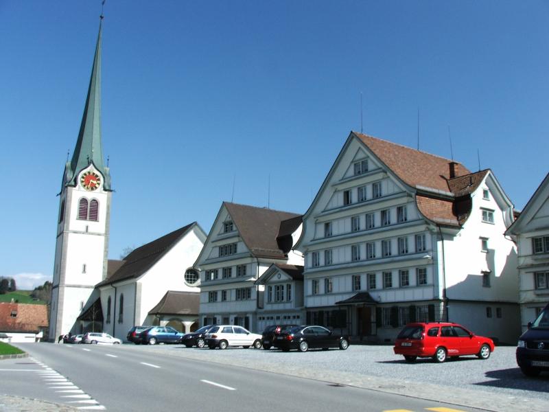
Auf dem Schwäbrig | Gais | |
 |
 |
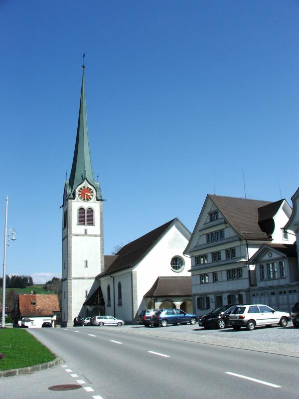 |
Nach mehr als 4.30 Stunden Weg steigen wir in Gais in die Appenzeller Bahn ein und fahren die verbleibende Strecke (ca. 6 km) nach Appenzell hinunter.
|
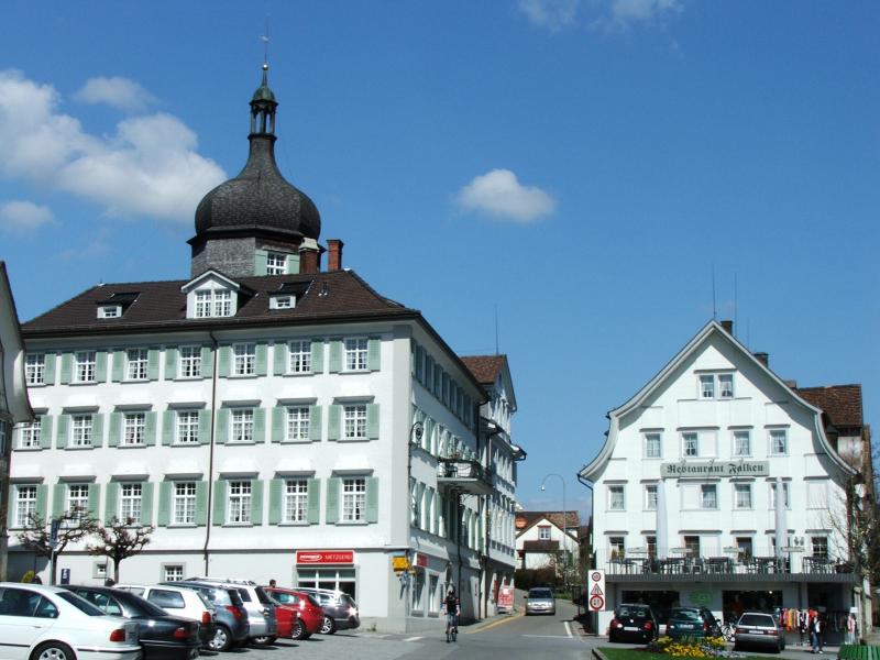
| Gais - Säntis | Gais | ||
|
 |
 |
|
| Gais | |||
|
 |
 |
 |
|
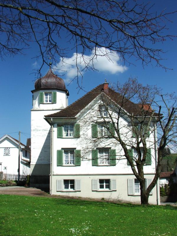
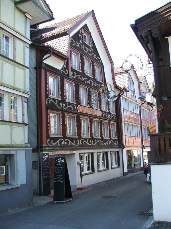
Hotel Taube 's Tübli' - hier übernachten
wir in Appenzell |
|||
|
|
|||
|
|
|||
| << Trans Swiss Trail2 | www.wandersite.ch | ||
|
|
|||